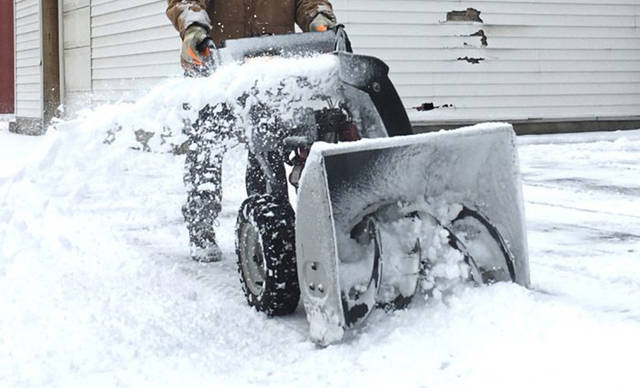
A weekend winter storm watch has been upgraded to a winter storm warning for much of Southwestern Pennsylvania, and the region is expected to see more than a half-foot of snow by day’s end Saturday, according to the National Weather Service.
The winter storm warning is in effect from 10 a.m. Saturday until 10 a.m. Sunday, according to the weather service. More snow will fall to the north and less to the south, with Allegheny County being the “transition zone,” said meteorologist Pat Herald.
The snowstorm that’s been anticipated all week is now expected to dump 6 to 8 inches of snow on the Pittsburgh area, Herald said.
The storm warning said ice accumulation could be up to one-tenth of an inch, and snow could turn to rain for a brief time Saturday evening before cold air sets back in, according to the weather service.
Freezing rain will mean less snow to the south. Going north, snow totals could reach 8 inches to a foot in the Interstate 80 corridor, he said.
Those totals could still change depending on which way the storm goes, especially in the immediate Pittsburgh area.
“We’re right on that transition zone,” Herald said.
It will be the most snow Pittsburgh has gotten in one day so far this winter season, which meteorologist Lee Hendricks said has been “rather anemic snowfall-wise.”
As of Friday, there’s been 11.2 inches of snow, nearly 6 inches less than the 16.9 inches normally seen by this point, according to Hendricks.
That wasn’t the case a year ago, when 26.6 inches, nearly 10 inches more than normal, had fallen.
So far this season, the most snow to fall in one 24-hour period was on Saturday, Jan. 12 — and that was only 2 inches, Hendricks said.
Gov. Tom Wolf issued a state of emergency Friday afternoon ahead of the storm, allowing for increased storm assistance and speed restrictions on most interstates and the Pennsylvania Turnpike. Commercial traffic, including buses, will be required to stay off most highways.
The commercial vehicle ban will be in place from noon Saturday to noon Sunday, and it includes all interstates and the turnpike – excluding I-95 in the southeastern part of the state. Speed limits will be lowered to 45 mph on the interstates and expressways.
There will be a brief cold snap in the wake of the snow on Monday, with a high of only 14 degrees and the low getting down into the single digits around 5 degrees, although some places could hit zero. The temperature will rebound into the 30s on Tuesday afternoon, Herald said.
The weather service warned that travel could be “very difficult,” and the possibility of sleet and ice could make it impossible.
“Travel will be very challenging this weekend with the combination of heavy snow, high winds, sleet, freezing and plain rain and then a rapid drop in temperatures on Sunday,” said PennDOT Secretary Leslie S. Richards. “If you must travel, please check 511PA for the latest conditions and be prepared in case extreme conditions trigger long delays on your route.”
Brian Rittmeyer is a Tribune-Review staff writer. You can contact Brian at 724-226-4701, brittmeyer@tribweb.com or via Twitter @BCRittmeyer.