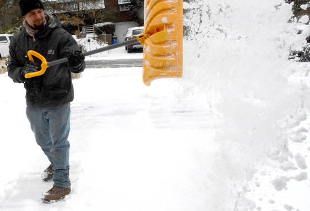


Snowmageddon bypassed the region, but the Arctic cold didn’t.
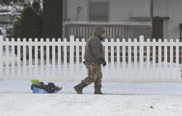
The region is in for a deep freeze over the next few days, with dangerous wind chills and temperatures expected to hit single digits and continue through Monday.
The National Weather Service issued a wind chill advisory Sunday evening through 1 p.m. Monday. Wind chills are expected to be cold enough to cause hypothermia and frostbite within 30 minutes if skin is left uncovered.
“It will be pretty cold,” weather service meteorologist Shannon Hefferan said. “It’s looking like, maybe, negative 15 for wind chills in the early morning hours Monday.”
But better days are ahead.
“For the next day and a half it will be kind of cold, and then we’ll have some warm air come in,” Hefferan said.
Wednesday is expected to be rainy with temperatures in the 40s.
Temperatures on Monday — Martin Luther King Jr. Day — will hit a high of 13 degrees and drop to 2 above zero at night, according to the weather service. They will begin rising on Tuesday with highs in the low 30s and a chance of freezing rain and snow.
Government offices and some schools, depending on the district, are closed for the holiday.
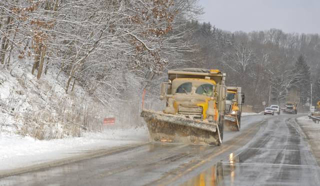
PennDOT on Sunday lifted a commercial vehicle ban on state highways, including the Pennsylvania Turnpike near New Castle, that went into effect Saturday.
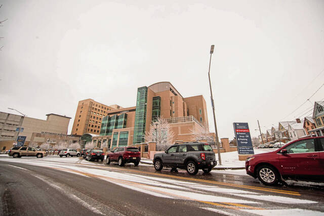
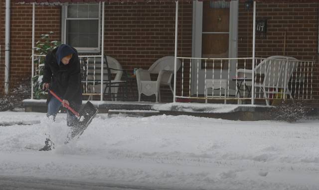
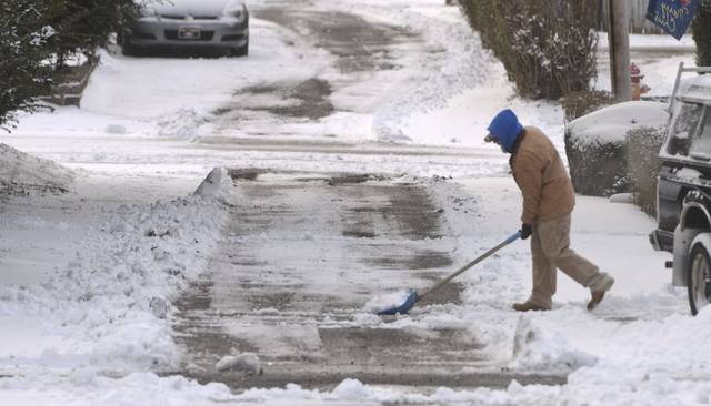
The rain that soaked Southwestern Pennsylvania on Saturday night turned to ice overnight, leaving roads slick. During the flash freeze, temperatures quickly dropped from the 30s to the teens.
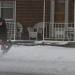
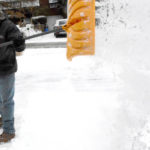
Local meteorologists tracking last week’s ever-shifting forecasts knew the weekend’s weather would be tricky to predict, and weekend snowfall totals were far smaller than expected — about 2 inches in most of the region.
An advancing low-pressure front that carried the storm pushed a wave of warmer air ahead of it.
Figuring out where that line of warm air would end up stumped meterologists all week.
“We had multiple models that indicated differently,” said weather service meteorologist John Darnley. “That was our message from day one.”
Models early in the week showed the Pittsburgh region receiving anywhere from 2 to 16 inches of snow, TV meteorologists told the Tribune-Review.
As late as Saturday morning, the National Weather Service predicted the region could receive 6 inches of snow.
Winter weather warnings for most of the region — including Allegheny and Westmoreland counties — were downgraded to winter weather advisories.
Some areas did get the full force of the storm.
Residents in northern Butler County reported more than a foot of snow, according to Tribune-Review news partner WPXI.
Meteorologists have been dealing with hundreds of tweets and other messages on social media — some understanding, some mocking and some condemning.
WPXI meteorologist Scott Harbaugh said the jabs come with the job.
“You’re going to take a beating once in a while,” he said. “It goes with the gig, there’s no doubt about that.”
Harbaugh is active on social media, and usually receives a few dozen Twitter mentions a day. This weekend he’s received hundreds, and he plans to respond to every one of them.
“If I’m going to take credit for a correct forecast,” he said, “then I want to get back to people who are angry about an incorrect one.”
Bob Bauder is a Tribune-Review staff writer. You can contact Bob at 412-765-2312, bbauder@tribweb.com or via Twitter @bobbauder.