The heat wave that hovered over the Pittsburgh region for the past several days has come to end as a cold front has brought rain and cooler temperatures.
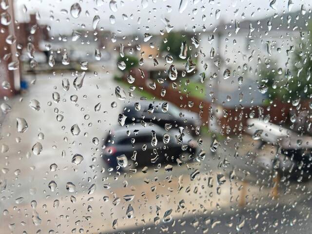
The Pittsburgh office of the National Weather Service said scattered showers will continue through Thursday morning. The service warns that visibility will be low during the rain and could affect the morning commute.
There is a marginal risk of severe thunderstorms moving into the Pittsburgh region on Thursday afternoon. This risk is highest in higher elevations in eastern Westmoreland, Fayette and Somerset counties, the weather service said.
5:00am Radar Update: Scattered showers across the area this morning could mean wet roads and reduced visibility during your morning commute. Take it easy!
— NWS Pittsburgh (@NWSPittsburgh) September 7, 2023
Later Today: A Marginal Risk (Level 1 of 5) for severe thunderstorms mainly over high terrain to the east. #pzwx #ohwx #wvwx pic.twitter.com/hxvJnv9rVS
The front pushing storms into the Pittsburgh region is also bringing cooler temperatures after several days of high temperatures in the 90s.
Thursday’s highs are forecasted to be in the low 80s, and things should cool further as the week goes on.
Saturday’s high temperature is expected to be in the high 70s.
Sunday is the Pittsburgh Steelers’ home opener and the high temperature is forecasted to be 75 degrees. There also is a chance of rain in the afternoon.