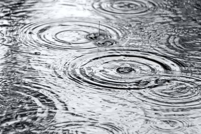
Flooding is not expected to be a threat from rain that will soak the Pittsburgh area Thursday, influenced by the remnants of Hurricane Zeta, Jason Frazier, a meteorologist with the National Weather Service in Pittsburgh, said Wednesday.
Zeta is expected to make landfall in the mid-to-late afternoon. Its moisture will contribute to the rain that will fall in the Pittsburgh area as it passes to the southeast, Frazier said.
Between 1 and 1.5 inches of rain is expected on Thursday, starting in the morning and continuing through the night. There could be some lingering rain Friday morning, but any additional rain will total less than another quarter-inch, Frazier said.
Here are updated rainfall totals through early Friday based on recent guidance and in collaboration with @NWSOHRFC. Rainfall onset & timing remains the same. pic.twitter.com/TclRGoOzIY
— NWS Pittsburgh (@NWSPittsburgh) October 28, 2020
The rain will be widespread and consistent across the region. Rain amounts will be heavier to the south and east.
Flooding will not be a threat because of recent drought conditions and because the rain will fall over a long span of time, Frazier said. Water could pond on low roadway areas, especially where leaves are clogging drains.
While it was dry in the mid-to-late summer, the Pittsburgh area is experiencing slightly above-normal precipitation for the year, Frazier said. As of Tuesday, there had been 32.34 inches for the year, more than a half-inch above the normal of 31.78 inches.