

Wind chills might feel like a shock Tuesday, weather officials said.
National Weather Service meteorologist Lee Hendricks said blustery winds are in store, with gusts of up to 30 mph.
“It was so nice on Monday, but today, we will have wind chills that could be in the teens,” he said.
Temperatures will hover in the upper 20s, which is about 20 degrees below normal. Typical weather for November are about 53 for a daytime high and 36 at night.
A record-low high temperature of 32 has stood since 1934.
The snow and cold is right on track with what meteorologists predicted earlier this week, Hendricks said.
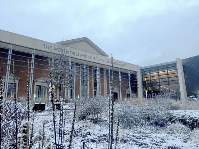
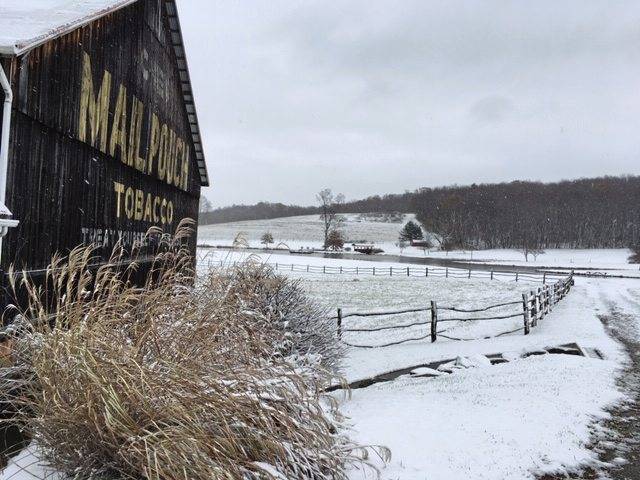
“Here in western and southern Allegheny County, we got slightly less than an inch of snow,” he said.
Areas to the north and in the ridges got a little more. But even some places south, like Donegal Township, a white coating covered the ground.
Snow showers Tuesday are expected to deliver another inch or 2, before clearing up at night.
The low is forecast to fall near 15 degrees which would break the record of 17 set in 1911, meteorologist Shannon Hefferan said Monday.
Areas north of PGH and the ridges will see the most accumulation by the end of Tuesday (bc of enhanced and upslope snow during the day). Biggest change will be in temps with some locations forecast to have apparent temperatures around 40 degrees cooler than observed today!
— NWS Pittsburgh (@NWSPittsburgh) November 12, 2019
The record for snow in Pittsburgh on Nov. 12 was set in 2013 when there was 3.3 inches.
The cold won’t stick around long, with high temperatures forecast to rebound into the low 40s by the end of the week, Hefferan said. No more snow is in the immediate forecast.
Tawnya Panizzi and Brian C. Rittmeyer are Tribune-Review staff writers. Reach Tawnya at tpanizzia@tribweb.com. Reach Brian at brittmeyer@tribweb.com.