With rain showers persistently soaking the region since April 1, it begs the question: When will the flowers come?
It’s the second weekend in June and it appears as if it will be soggy, at least in scattered areas in Western Pennsylvania, according to Jason Frazier, a meteorologist for the National Weather Service’s office in Moon.
It remains to be seen if the weather will help to tame the links at Oakmont Country Club. It may at least soften the greens but those caught in the church pew bunker may not be able to save par, let alone their souls, if they make the cut for weekend play at the U.S. Open.
The chances for rain and/or storms will increase in the afternoons and evenings this weekend and will be scattered throughout the region, Frazier said.
At 17.57 inches, year-to-date precipitation totals are about normal, but 10.53 inches have been measured between April 1 and Thursday, Frazier said.
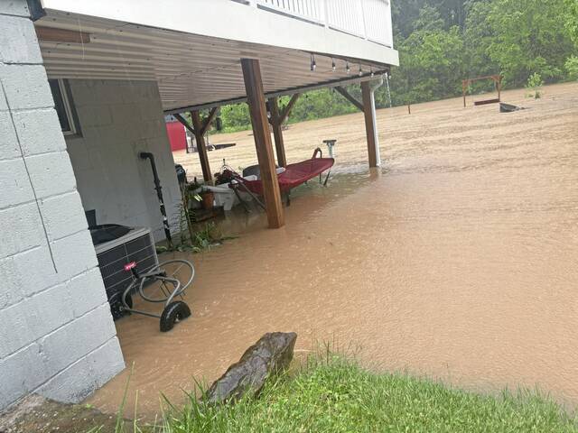
That’s the reason it may feel like it’s rained more often than not this spring, especially on weekends.
But diving into the numbers shows two weekends in April (the 12-13 and 19-20) with either no precipitation or just a trace. Weekends in May were even drier, with no precipitation measures May 10 and 11, a trace on May 17 and 18, none on Memorial Day weekend (May 24 and 25) and .01 inches on May 31 and June 1.
The remaining weekends were wet, but not record-breaking.
April 5 and 6 combined for about an inch of rain, but that’s less than the 2.56 inches recorded in 1886.
More than an inch (1.04 inches to be exact) were recorded on April 26.
May 3 and 4 combined for more than three-quarters of an inch of precipitation and June 7 and 8 there was just under that mount (.66 inches.)
Weather buffs can further break down the data compiled by the National Weather Service.
“We’ve seen even wetter conditions,” he said.
This year’s totals are less than those recorded a year ago, when 13.87 inches was recorded between April 1 and June 12, Frazier said.
That’s the second wettest since 1871 when record-keeping began. For the record, the 15.45 inches recorded at the dawn of the 20th century in 1901 is the record total from April 1 through June 12, Frazier said.
Average precipitation totals for that time frame are 8.75 inches, he said.
Expect a summer that leans toward warm and wet, according to the climate briefing the weather service released last week.
For the rest of June it may be drier in the region, according to the briefing. But hedge those bets: That prediction is a coin flip, the weather experts said.
For an exact forecast, step outside or look out the window, and remember it’s Western Pennsylvania and the weather is likely to change faster than the first drop of the Thunderbolt.