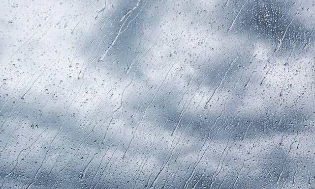
How much rain from the remnants of Hurricane Ian can the Pittsburgh region expect to receive over the weekend?
National Weather Service meteorologist Jenna Lake said most of the Pittsburgh area will remain on the edge of Ian’s system, resulting in about a half-inch of rain over the weekend.
“But areas southeast of Pittsburgh could see up to an inch or a little more of rain Friday night through early Sunday morning,” Lake said.
Saturday will see the heaviest rains, around midday, Lake said.
Wind gusts of 25 to 30 mph are expected, but Lake said Western Pennsylvania’s hilly terrain helps to protect us from heavier winds.
Hurricane Ian is currently a Category 1 with sustained winds of about 85 mph.
Ian is expected to make landfall Friday around Charleston, S.C.
Rain showers from #Ian will be making their way into the Ohio River Valley late tonight through tomorrow morning. One image below shows the probabilities of measuring over a half inch of rainfall in 24 hours . The other image shows the onset time of rain showers from Ian. pic.twitter.com/zlKwFXtHOx
— NWS Pittsburgh (@NWSPittsburgh) September 30, 2022
“In its entirety, we can expect gusts of about 25 mph — a little bit heavier than what we are used to on a daily basis,” Lake said of the wind conditions over the next two days.
“This storm has sustained itself for so long that when it gets on land again, it will weaken and weaken. Compared to other tropical systems we’ve experienced in this area, Ian is expected on the lower level of impact.
“Around here, it shouldn’t look any different to us than a run-of-the-mill fall pressure system.”