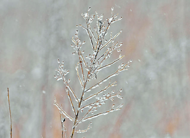
The Pittsburgh area should expect a taste of winter this week as the string of mild temperatures will come to an end Monday.
National Weather Service meteorologist Jared Rackley said temperatures will drop into the lower 30s by Tuesday morning, with some areas seeing a trace of snow.
“It will be just enough to make it feel like winter,” he said.
Need a little snow before the end of 2019? Well, chances return New Year's Eve. Isolated snow showers Tuesday morning shall become more widespread in the afternoon with the passing of an upper-level disturbance. Below is probability of 0.1" of snow for this time period. pic.twitter.com/HNXAaiaFmQ
— NWS Pittsburgh (@NWSPittsburgh) December 29, 2019
The cool-down won’t last long, though.
The region will usher in the New Year with high temperatures in the upper 30s before they start to climb into the 40s on Thursday and reach the mid-50s by Friday.
Monday’s temperature is expected to linger in the mid-50s with rain moving out this afternoon, Rackley said.
This year is expected to land as the fourth wettest on record, dating back to 1871, officials said.
As of midday Dec. 29, the Pittsburgh area recorded 51.94 inches of rain, about 15 inches more than average.
Still, it is about 6 inches less than the record-setting rainfall in 2018, when the area saw 57.83 inches of precipitation.