
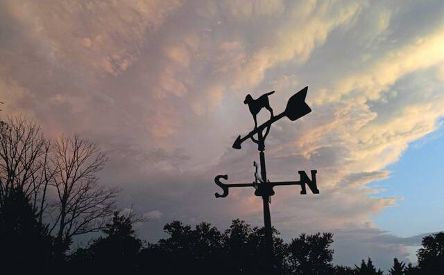


After being buffeted by winds that knocked out power for thousands this weekend, the Pittsburgh area is expected to get blasted again Monday followed by a one-day cold snap this week.
A wind advisory began at midnight and is expected to end at 11 a.m. Monday for Western Pennsylvania. Winds of 20 to 30 mph are expected, with gusts up to 50 mph, according to the National Weather Service.
Severe thunderstorms are possible Monday morning and early afternoon, with damaging wind gusts being the main hazard, the weather service said.
That could complicate things for power crews that are still working to restore service to customers, some of whom have been without power since Friday night.
High winds Friday brought down trees and power lines around the region. A 66 mph wind gust was recorded at Pittsburgh International Airport, which the weather service said was the fourth strongest gust on record not caused by a thunderstorm.
As of 10:30 a.m. Monday, Duquesne Light reported that about 11,000 customers remain without power. The company expects to restore most service by 10 p.m. Monday, with much restored sooner.
There were about 17,000 West Penn Power customers still in the dark early Monday. The company issued an alert to say that crews will remain focused on repairs from Friday’s storm first and will work around-the-clock to remedy any outages from Monday’s expected wind gusts. The company is expecting to restore service to its customers in Allegheny, Armstrong, Butler, Indiana and Westmoreland counties by 11 p.m. Tuesday, while those in Greene and Washington counties were expected to be back on by 11:30 p.m. Monday. Service in Fayette County was expected to be restored by 3 p.m. Monday.
Issues relating to the wind damage and power outages were lingering into the start of the week. The North Allegheny School District announced it will use a flexible instruction day Monday because several of its bus routes were still unsafe for travel or inaccessible.
Chartiers Valley School District also announced remote instruction for Monday because of power outages and bus routes blocked by downed trees.
A list of closings and delays is available from TribLive news partner WTAE’s website.
Following a warm day Sunday, Monday is set to begin warm, reaching a high of 66 in the late morning, but then dropping through the day to freezing by dinnertime, NWS meteorologist Mike Kennedy said.
“It’s going to get cold again,” he said. “It’s going to be noticeable.”
As the temperature drops, precipitation will change from rain to snow, but no significant accumulation is expected, Kennedy said.
The high Tuesday is forecast to be just 31 degrees, below the average high of 49 and closer to the average low for the day, Kennedy said. The low will drop to 22.
The cold snap will be short-lived, with temperatures rising to or slightly above normal by the end of the week, Kennedy said.
Spring officially arrives Friday.