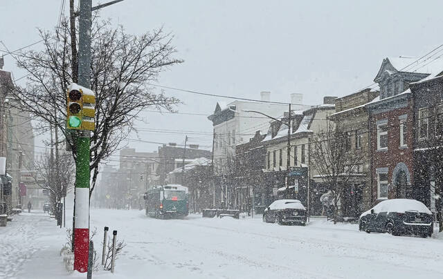
While Pittsburghers are expected to see some snow this weekend, don’t break out the shovels quite yet.
“We are not forecasting anything like what we saw in January with the storm,” Colton Milcarek, a National Weather Service meteorologist said Friday morning.
Milcarek said there will be some snow coming to the Pittsburgh area, but totals at this point are fairly limited. He said snow is predicted to begin around daybreak Sunday.
“Most of that snow falling in the Sunday late morning to early afternoon period should be tapering off a little bit but may be lingering some into Monday,” Milcarek said.
He said from Sunday at 1 a.m. to Monday at 1 a.m., there’s around a 66% chance seeing an inch of snow in the area. The chance decreases to around 25% for seeing 3 inches of snow. Milcarek said there’s a higher chance people located in Westmoreland and Fayette counties could see some more accumulation since they’re closer to the mountain areas.
As for impact, Milcarek said it should also be fairly limited since warmer temperatures are expected throughout the day Sunday and Monday. Forecast highs on Sunday are predicted to be in the mid to upper 30s.
Milcarek said they may be some light accumulation on untreated roads and grass surfaces overnight Sunday once temperatures fall below freezing.
“Those concerns decrease again into the Monday once we get the temperatures back into the mid-30s again for highs,” Milcarek said.
He advised people to stay alert of the forecasts for any changes that may occur before Sunday.