
Western Pennsylvania is in for another round of snow by the end of the week, meteorologists warned.
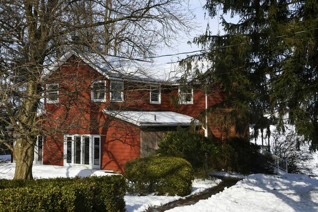
Tuesday morning’s snowfall dropped about 2 to 4 inches across the region. It caused about 200 school cancellations and more than a few headaches for commuters.
Across Allegheny County, the average snowfall was about 3 inches, according to Jared Rackley, a meteorologist with the National Weather Service. Higher totals were recorded in Butler and Beaver counties, he said.
Jeff Verszyla, a meteorologist at TribLive news partner WTAE, said the region saw some of the highest snowfall totals in Aliquippa (3.6 inches), New Kensington (3.5 inches) and Pittsburgh’s Mt. Washington (3.1 inches).
Tuesday night’s forecast looks dry and cold, with a projected minus-10-degree wind chill and single-digit temperatures into Wednesday morning, Rackley said.
Weather-related
• Bitter weather prompts Allegheny County, Pittsburgh to extend 'Code Blue' action• Check out the latest weather conditions and forecast
Verszyla also is projecting single-digit temperatures Tuesday night into Wednesday, with the coldest time between 6 and 8 a.m. Wednesday, with wind chills ranging from minus 5 to minus 8.
Wednesday is projected to be the coldest day of the week, Verszyla said. Numerous schools announced delays and closures in advance of Wednesday.
WTAE has a complete list of school delays and cancellations.
The next chance of snow could come as early as the end of this week.
Rackley said current projections could add 3 to 4 inches of snow across the area Thursday night into Friday. Verszyla said he also is projecting snowfall Friday, but it’s too early to tell how much the area might get.
“We feel pretty confident saying there will be snow showers at the very minimum on Friday,” Verszyla said.
Temperatures are forecast to be in the upper 30s next Monday and in the mid-40s on Tuesday, Rackley said.