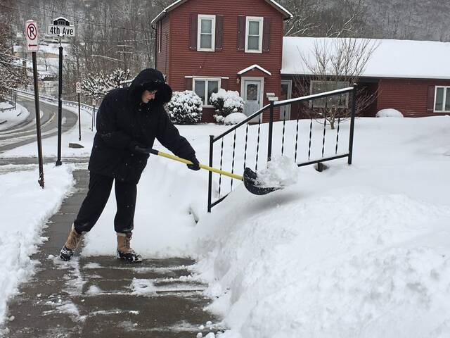
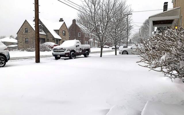


A late winter storm that began Friday night dumped more than 9 inches of snow in parts of Allegheny County by early Saturday evening, while lesser amounts were recorded in Westmoreland County, according to the National Weather Service.
One of the highest snow totals was reported in Moon Township, where the regional NWS headquarters is located. Snowfall there totaled 7.5 inches by 8 a.m. Saturday — increasing to 9.7 inches by 5 p.m., according to NWS meteorologist Chris Leonardi.
“We had a band that set up over the western half of Allegheny County and into Armstrong County,” fellow NWS meteorologist Lee Hendricks said Saturday morning. “Within that band, there was generally 5 to 8 inches of snow.”
The first and fiercest wave of snow ended by about 9:30 a.m. Saturday, Leonardi said.
More scattered snowfall continued throughout the day Saturday and was expected to end by about midnight.
“We are getting lake-enhanced snow showers, but they’re scattered snow showers for the most part,” Leonardi said.
The weather service’s winter storm advisory for Allegheny County and lower elevations of Westmoreland County expired at noon Saturday. A winter storm warning for the higher elevations of Westmoreland and Fayette counties was to have continued through 1 a.m. but was cancelled Saturday afternoon because additional snow accumulations were largely over, Leonardi said.
Other area snow accumulations reported by the National Weather Service Saturday morning: South Fayette, 7.2 inches; Wexford, 7 inches; Freeport, 5.5 inches; Saltsburg, 4.8 inches; New Kensington, 4.4 inches; Monessen, 4 inches; Ligonier, 3.6 inches.
The National Weather Service has a webpage that shows snowfall reports over the past 24 hours.
Dropping temperatures and increasing winds were expected to make for hazardous driving conditions in the region Saturday, even after the snow stopped.
The winds, Hendricks said, could create “a lot of blowing and drifting snow, and it would help to freeze any melted snow. It could be a messy night for driving.”
Because of the storm-related hazards, PennDOT temporarily enacted a reduced speed limit of 45 mph on Interstate 70 in Westmoreland and Washington counties and Interstate 79 in Washington and Greene counties. Those restrictions were lifted by about 1:30 p.m. Saturday.
By Sunday morning, temperatures in the Pittsburgh region were expected to drop into the teens, with a wind chill hovering around zero, Leonardi said.
The snow storm didn’t stop plans for Pittsburgh’s St. Patrick’s Day parade Saturday. Nor did it cancel the parade in 1993, when a blizzard set a local snowfall record of 23.6 inches in one day — March 13.
That was part of a storm that blanketed the area with 25.3 inches of snow.