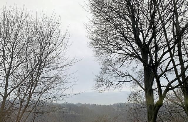


Southwestern Pennsylvania has had an unusually warm late fall and early winter without much snow, and that is not expected to change anytime soon, a National Weather Service meteorologist in Moon Township said.
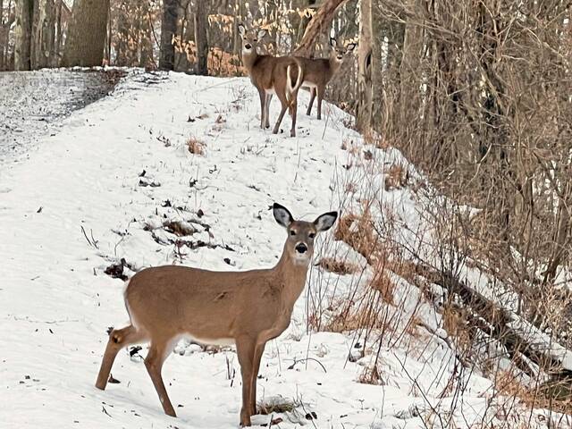
The Pittsburgh region officially has had all of 0.2 inches of snow in December — far less than the average of 10 inches of snow Southwestern Pennsylvania usually gets during the Christmas month, meteorologist Lee Hendricks said. That whopping total includes the trace of snow that was spread lightly around the Pittsburgh region Monday morning.
“We’ll remain below normal on snowfall until mid-January,” Hendricks said Monday.
Hendricks is not expecting the snowfall total for the month to increase because “we’re going to remain above normal (temperature)” for the remainder of the week.
“There’s no major surges of air coming out of Canada,” Hendricks said.
Instead, the weather systems are moving into the region from the West, and cold air is not “invading” very far south.
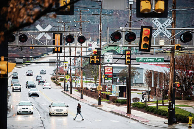
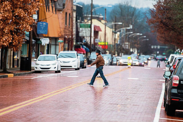
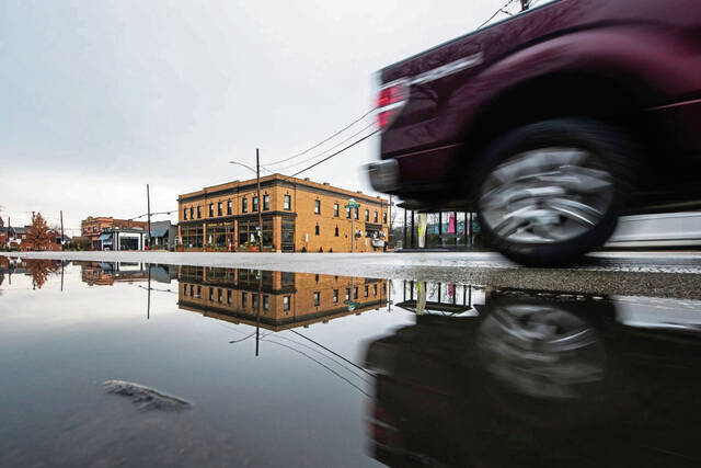
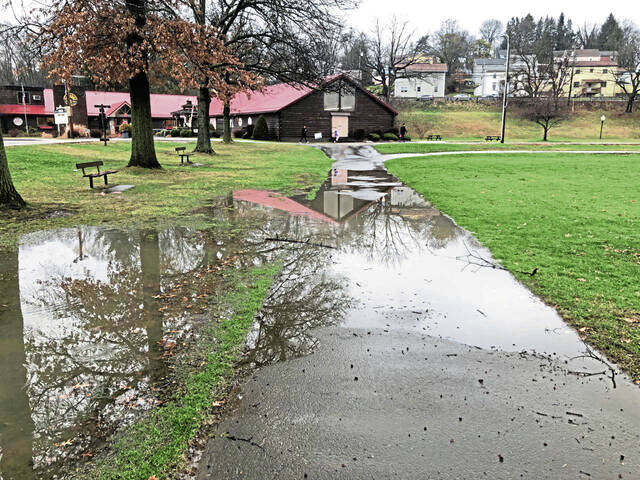
The rain, however, will remain. Santa Claus had to fly through 0.63 inches of rain on Christmas Day. The first 26 days of the month have seen 2.58 inches of precipitation, which is 0.2 inches above normal for all of December, Hendricks said. It’s possible outdoor celebrations on New Year’s Eve will be dampened because there is a 60% chance of precipitation that day.
Among other communities in Allegheny County, the unofficial Christmas Day rain totals in inches were: Churchill, 0.61.; Fox Chapel, 0.84; Monroeville, 0.65; Pittsburgh, 0.7; Plum, 1.6; and Sewickley, 0.69, according to the National Weather Service.
In Westmoreland County, the unofficial Christmas Day rain totals in inches were: Arnold, 1.2; Greensburg, 0.73; Jeannette, 0.81; Latrobe, 0.9; Mt. Pleasant, 0.56; New Kensington, 1.3; and Stahlstown, 1.1.
Temperatures have been abnormally high this month, Hendricks said, averaging 40.6 degrees for the high and only 31.5 degrees for the low. Normal December highs are 38 degrees, with the lows dropping to 24 degrees.
A deviation of 0.5 degree to 3 degrees is normal, but “this is quite unusual,” he said.
“It is a large deviation (from the average), but it is not a record,” Hendricks said.
The record high for Dec. 27 was 70 degrees in 1904, with the record low of zero degrees in 1925.
If the temperatures were cold enough for the precipitation to fall as snow, Hendricks said, the formula of 1 inch of rain equals 10 inches of snow is “the average of the averages” because not all storms are created equally.
A snowstorm moving up the East Coast might dump 7 to 8 inches of snow for every inch of precipitation, but a lake-effect snowstorm could bury Erie under 25 inches of snow for each inch of precipitation, Hendricks said. He is not exaggerating. For a two-day period around Christmas 2017, Erie was buried in 60 inches of snow, well on the way to a 200-inch snowfall the winter of 2017-18.
All of the talk of a warmer winter leads to a discussion of whether climate change is causing the temperatures to rise and the snow not to fall.
“We’ve been going through climate change for 4.3 billion years. The causes, we’ll know after the fact,” Hendricks said.