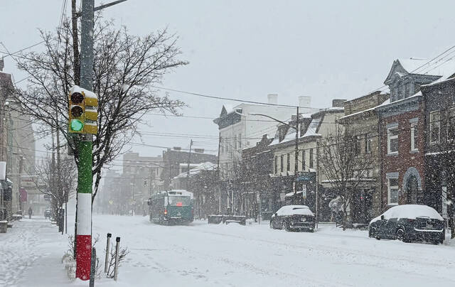


Brace yourself for the possibility of significant snow headed this way.
A winter weather advisory has been issued for Southwestern Pennsylvania beginning at 10 p.m. Saturday and running until 10 p.m. Sunday for a storm system that could drop a half-foot of snow or more. A winter storm watch for the Laurel Highlands goes into effect at 3 a.m. Sunday and lasts until 7 p.m. Monday.
The National Weather Service says a strong low-pressure system is advancing and will spread moisture over the area beginning late Saturday.
❄❄ A Winter Weather Advisory has been issued for portions of eastern Ohio, the northern WV panhandle, and western PA. Snowfall accumulation of 3 to 6 inches is possible across much of the advisory area, with locally higher amounts. #PAwx #OHwx #WVwx pic.twitter.com/zNUcC8BkF5
— NWS Pittsburgh (@NWSPittsburgh) January 30, 2021
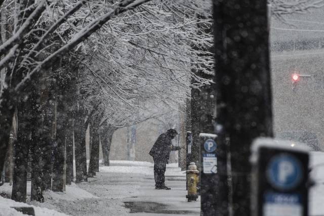
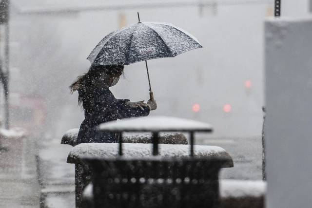
Forecasters are calling for the system to last into Monday with mixed precipitation accompanied by snow showers. The chances for snow are 90% on Saturday night, 100% on Sunday and 80% on Sunday night and Monday.
Some areas could see some mixed precipitation and freezing rain.
Here is a look at estimated start and stop times of snowfall across the region for the upcoming region, with the highest impacts expected from late Saturday to late Sunday.
— NWS Pittsburgh (@NWSPittsburgh) January 30, 2021
Please continue to stay tuned as we continue to update forecasts with the latest information. pic.twitter.com/NCrHqgGjWM
PennDOT is anticipating the implementation of statewide travel restrictions Sunday and urged drivers to avoid unnecessary travel during the storm.
Allegheny County Public Works will deploy at least 24 salt trucks beginning overnight, with the possibility of adding more drivers and extending shifts depending on the severity of the storm, said department Director Stephen G. Shanley.
The county is preparing for the storm to continue on and off through Tuesday morning and drop 4 to 8 inches of snow, with a possible light glaze of ice from freezing rain. A brief transition to rain is possible Monday morning that could cut down on the predicted snow totals, Shanley said.
Salt trucks take one to two hours to complete their routes, and the county is encouraging drivers to stay home if possible.
Pat Herald, meteorologist at the National Weather Service office in Moon Township, said the timing of the storm will determine the amount of snow accumulation for the area.
“There could be areas of heavy snow, most likely in the ridge areas. What happens with these is a low-pressure system will spread warm air northward. What that does primarily is degrade snowfall efficiency,” Herald said. “So the system will start out as snow, then it becomes sleet and possibly freezing rain.”
Once the low pressure system slides by the area, that could turn any precipitation back to snow, according to Herald.
“All this is going to hinge on the exact low-pressure track. For example, if the low pressure shifts southward, as it’s looking like it might do in this instance, then you won’t get that mixed precipitation in Pittsburgh, the southern track will bring cold air and it will just end up being more of a snow event in the Pittsburgh area,” Herald said.
PennDOT expects numerous highways will be under Tier 1 travel restrictions, which prohibit tractors without trailers, tractors with empty trailers, RVs, motorcycles and buses without chains or other traction devices.
The only Western Pennsylvania highway likely to be affected is I-70. The department announced likely restrictions for the following roads:
• I-70 between the Pennsylvania Turnpike in New Stanton and the Maryland state line.
• I-80 between Interstate 81 and the New Jersey state line.
• The entire length of Interstates 78, 81, 83, 84 and 380.
Restrictions could change or more roads could be added depending on the weather. Up-to-date information will be available at 511pa.com.