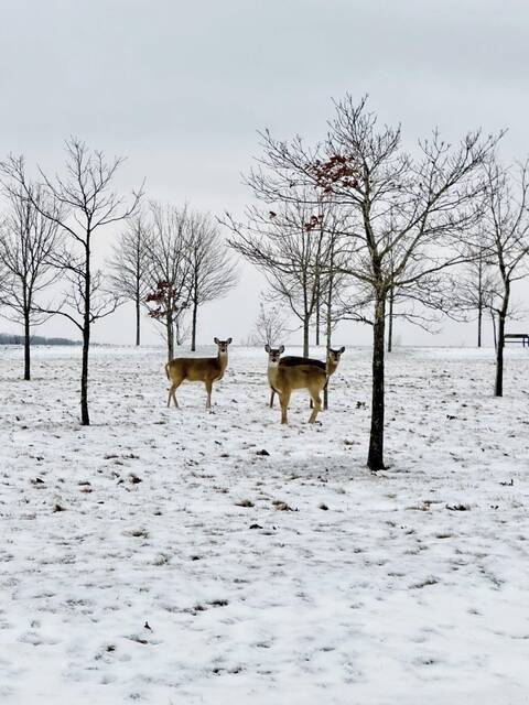


Winter isn’t over quite yet.
A cold front moving across the region Wednesday morning has dropped temperatures into the 30s and brought a morning snowfall, said Myranda Fullerton, a meteorologist with the National Weather Service in Pittsburgh.
“We’re not expecting anything significant in terms of snowfall accumulation with this,” she said, though she warned that periods of heavy rain and snow could impact visibility.
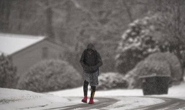
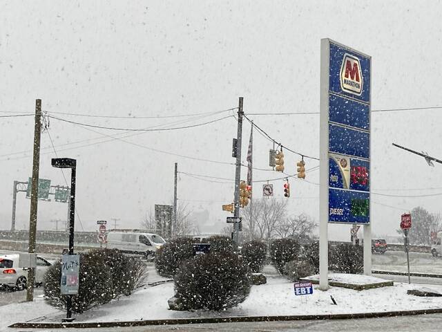
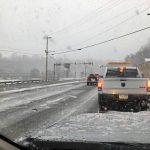
Although by around 8 a.m. Wednesday, flakes were coming down thick and heavy, covering some roads and creating issues for a few commuters.
Yes, we're getting the big snowflakes too! Visibility is dropping to about a half mile in the heavier snow, and the snow is sticking...we've got about 0.6" here on our snowboard. If you are driving in this snow, slow down and increase your following distance! pic.twitter.com/wYbU27MnkJ
— NWS Pittsburgh (@NWSPittsburgh) March 9, 2022
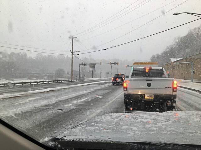
Pennsylvania Department of Transportation crews are still working their winter shifts, said local PennDOT spokesman Steve Cowan.
“We are always prepared for [these] freak storms during this time of year,” he said.
Cowan said there have been a few crashes reported this morning. Roadway temperatures remained above freezing Wednesday morning, which means snow isn’t sticking to the roads as much as in colder temperatures, he said. PennDOT crews will continue treating roads throughout the storm.
Cowan urged people driving Wednesday to slow down, leave space between vehicles and allow for extra travel time. He warned that bridges, overpasses and ramps may be slick.
Dry conditions are expected Thursday into Friday morning, Fullerton said, but another snowy weekend is in the forecast.
Another cold front will move through the region Friday night into Saturday, potentially dropping two to four inches of snow. Snowfall should end by Saturday evening, she said.
“Hopefully, this is winter’s last visit,” Fullerton said.
The high temperature Saturday will likely be in the teens, she said. Temperatures will rebound Sunday, with a high forecasted in the upper 30s.
Warming temperatures should melt any snow accumulation fairly quickly, Fullerton said. Snow may stick around overnight Saturday, but Sunday’s temperatures will likely help remaining snow melt.
“It’s getting to be the time of the year where snow hopefully doesn’t stick around long,” she said.
Winter weather will make its exit early next week, with temperatures Monday and Tuesday climbing to the 50s, and potentially reaching the 60s by Wednesday, Fullerton said.
“It looks like spring returns,” she said.