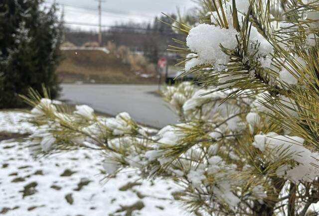
As it turns out, ol’ Punxsutawney Phil may have been onto something when he forecast six more weeks of winter earlier this month. After a brief warm spell, snow was back, tossing a light blanket late Saturday into Sunday across southwestern Pennsylvania.
But the region is largely set to avoid the worst of the winter storm system making its way northeast along the U.S. coast, according to the National Weather Service in Moon.
“We were initially looking at two scenarios for this weather system,” said NWS Meteorologist David Shallenberger. “It was either going to head straight out to sea, or it was going to track closer to the coast. It started to intensify in the mid-Appalachians and now it’s trailing the coast as it moves northeast.”
The worst of the storm is concentrated along the I-95 corridor, where more than 26 million people are under a blizzard warning. The nor’easter is one of the strongest types of storm system, weather officials said, collecting additional moisture as it moves along the Atlantic coast.
On Sunday, Gov. Josh Shapiro signed a disaster emergency proclamation, which will enable state agencies to quickly mobilize personnel, equipment and funding to support response efforts before, during and after the storm, expected to have the most significant impacts in eastern Pennsylvania.
Updates and safety information is available online at pa.gov/stormlatest. Road information is available online at 511pa.com.
Locally, Shallenberger said, it will bring 1 to 2 more inches of snow in most of southwestern Pennsylvania. Western Westmoreland County is under a winter weather advisory with up to 3 additional inches of snow through early Tuesday morning, and the higher elevations in eastern Westmoreland are under a winter storm warning with potential accumulation of 6 inches to a foot of snow, according to NWS forecasts.
The two advisory areas form a band running northeast through Morgantown, Latrobe and Indiana, Pa.
Overnight temperatures are expected to hover around 30 degrees, but Monday’s forecast high is only 36, with temperatures dipping back into the upper teens at night.
Most of the snow is expected to wrap up early in the day on Monday, according to NWS forecasts.
See the most recent advisories at Weather.gov.