
Work is underway to repair a large dip in the surface of Route 981 just south of Latrobe that has caused motorists to hit their brakes for more than a year.
According to PennDOT officials, mine subsidence caused a section of the road to settle, resulting in an uneven ride and slow going for motorists.
The roadway first showed signs of settlement in the fall of 2020 but significantly settled over the last six months, PennDOT maintenance engineer Tim Cook said. The road surface sank between about 4 inches and 16 inches, he said.
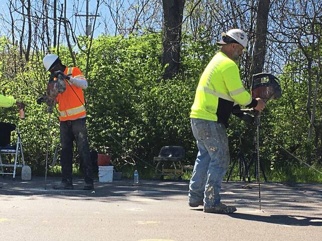
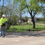
Crews recently began work to shore up the affected portion of Route 981, with traffic restricted to a single lane, controlled by flaggers.
The repair began by drilling a 4-inch hole about 110 feet down into the mine void and pumping in grout to fill the space, Cook said.
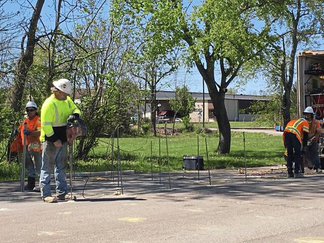
Crews then divided the sunken area into a series of 4-foot-square grids, he said. In each of the grids, they are drilling a series of three shallow holes — about 12 feet deep.
A polyurethane material that is being injected into the holes is expected to expand and to help stabilize the soil.
The work is expected to continue for about three weeks and will be capped by patching the road surface.
Cook noted this type of subsidence is common in Western Pennsylvania, where there is an extensive history of shallow mining.
The problem of mine subsidence in the Latrobe area earlier came to light in January 2017, when it caused damage to a home on Eleanor Drive.
Latrobe residents who attended a public meeting the following month learned from the state Department of Environmental Protection that much of Latrobe’s downtown section is located above an area with deep mines.
Most of the mines in Latrobe’s bowl-shaped coal seam rest below several hundred feet of ground cover, but some have less than 50 feet of cover, a DEP official said. He noted the deepness of the mine doesn’t necessarily determine the risk for unpredictable and sudden subsidence events.
Pennsylvania residents can find out about mine conditions in their area and options for subsidence insurance by calling 800-922-1678 or by visiting dep.pa.gov and selecting “Mine Subsidence Insurance” under the “Residents” heading.