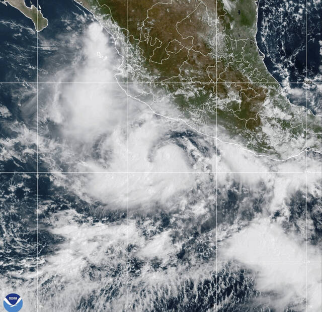

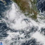
MIAMI — Narda was upgraded to a hurricane Tuesday as it strengthened in the Pacific Ocean off the west coast of Mexico, the National Hurricane Center said.
Narda had maximum sustained wind of 85 mph, according to an advisory from the Miami-based weather center. The Category 1 hurricane was centered about 295 miles southwest of Manzanillo, Mexico, and was moving west at 13 mph.
Forecasters said Narda would continue strengthening Tuesday, but little change in intensity was expected Wednesday and Thursday.
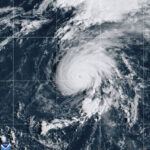
Meanwhile, a hurricane watch was issued Tuesday for all of the islands in the Azores ahead of Hurricane Gabrielle. The Category 4 major hurricane was churning about 1,710 miles west of the archipelago.
As the National Hurricane Center monitors two areas for potential tropical system development, swells from Hurricane Gabrielle are likely to cause life-threatening surf and rip current conditions along the U.S. East Coast over the next couple of days. Get the latest forecast at… pic.twitter.com/2XqJZaE9jo
— National Weather Service (@NWS) September 23, 2025
Despite its distance from the Azores, forecasters said the hurricane was increasing in forward speed and would approach the islands Thursday.
Gabrielle had maximum sustained wind Tuesday of 130 mph and was traveling east-northeast at 20 mph. The system was already responsible for large swells on Bermuda as it passed by that territory Monday.
Forecasters predict Gabrielle will bring up to 5 inches of rain across the central and western Azores. The weather center also warned of storm surge and hurricane conditions by Thursday night.