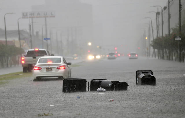
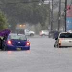
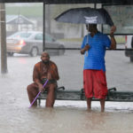
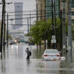
NEW ORLEANS — A storm swamped streets in New Orleans and prompted a tornado warning near the city Wednesday as concerns grew that even worse weather is on the way to Louisiana and other states along the Gulf of Mexico.
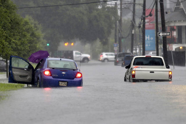
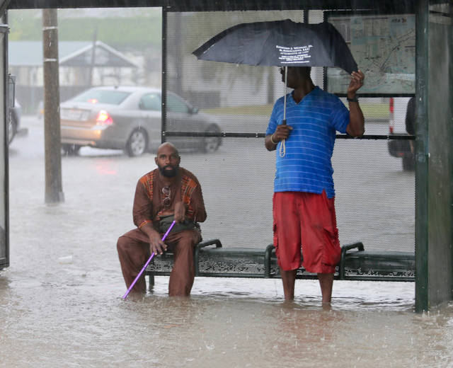
Garbage containers tilted on their sides and pieces of wood floated down rain-swollen streets in New Orleans. Water was up to the doors of many cars during the morning rush hour.
The storms were associated with a broad area of disturbed weather in the Gulf that’s expected to strengthen by this weekend when it threatens the region with torrential rain.
Once it becomes more intense, the weather system could push the already swollen Mississippi River precariously close to the tops of levees that protect New Orleans, forecasters said.
“There could be a considerable amount of overtopping of Mississippi River levees in Plaquemines Parish on both the east bank and the west bank,” Louisiana Gov. John Bel Edwards said at a Wednesday news conference.
The parish is just southeast of New Orleans and includes many of the city’s suburbs.
But it’s not just New Orleans that’s at risk, the governor said. National Guard troops and high-water vehicles will be positioned all over the state, he said.
“The entire coast of Louisiana is at play in this storm, and we’re talking about as much as 10 to 15 inches of rain over a 24-hour period that will start Friday so that is a short time period for such intense rain,” Bel Edwards said.
The governor said he would declare a statewide emergency later Wednesday.
The low pressure area Wednesday was over water, south of the Florida Panhandle. It was expected to strengthen into a storm as it moved west through the Gulf’s warm waters.
Lines of thunderstorms associated with the system on Wednesday extended far out in into the Gulf and battered New Orleans, were as much as 7 inches of rain hit the New Orleans metropolitan area over a three-hour period Wednesday morning, forecasters said.
It’s expected to get much worse in the days ahead.
Parts of Louisiana could see up to 12 inches of rain by Monday, with heavier amounts possible in some spots, forecasters said.
Mississippi and Texas were also at risk of torrential rains.
The National Weather Service said New Orleans is protected to a river level of 20 feet, but it was forecast to rise above flood stage to 19 feet by Friday.