
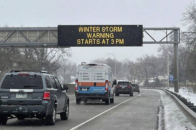


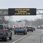

MINNEAPOLIS — Brutal winter weather bringing snow, dangerous gusts of wind and bitter cold settled over much of the northern U.S. on Wednesday, shutting down roadways, closing schools and businesses and prompting dire warnings for people to stay home.
The massive storm with blizzard-like conditions to the north were part of a wild weather day across the U.S. Wind gusts, combined with snow and rain, forced closure of a long stretch of interstate highway in the Southwest. Meanwhile, many places in the mid-Atlantic down to Florida are expected to see record high temperatures — in some cases up to 40 degrees above normal.
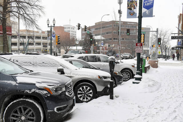
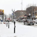
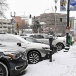
Many schools throughout the Dakotas, Minnesota and Wisconsin were called off for Wednesday, ahead of the storm. Offices closed, and so did the Minnesota Legislature. South Dakota Gov. Kristi Noem shut down state executive branch offices in several parts of the state, and employees were working remotely.
In Wyoming, virtually every road was impacted, and many were closed. Officials warned they may stay that way for days.
“Please change travel plans if your are coming towards Wyoming, waiting to go west from Cheyenne or Laramie on I-80, or waiting to go east on I-80 from Rock Springs,” the Wyoming Department of Transportation posted on Facebook. “A major winter storm and multi-day closures are likely on Interstates and secondary roads throughout Wyoming!”
Michelle Wilson said business was slow at the Denny’s where she works in Fargo, North Dakota, where the morning temperatures was minus 11 degrees Fahrenheit (minus 24 degrees Celsius). Wilson wasn’t surprised — people know better than to venture out when the weather turns this dangerous.
“When the wind picks up and your in a flat land like North Dakota, it’s whiteout conditions immediately,” Wilson said.
The storm will make its way toward the East Coast later in the week. Places that don’t get snow may get dangerous amounts of ice. Forecasters expect up to a half-inch of ice in some areas of southern Michigan, northern Illinois and some eastern states.
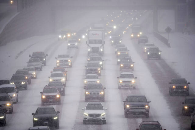
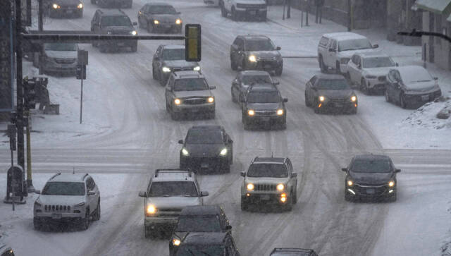
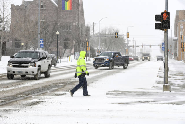
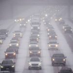
The snowfall could be historic, even in a region accustomed to heavy snow. As much as 25 inches may pile up, with the heaviest amounts falling across east-central Minnesota and west-central Wisconsin, the National Weather Service said. Wind gusts could reach 50 mph and wind chills are expected to hit minus 50 degrees Fahrenheit (minus 46 degrees Celsius) in some parts of the Dakotas and Minnesota.
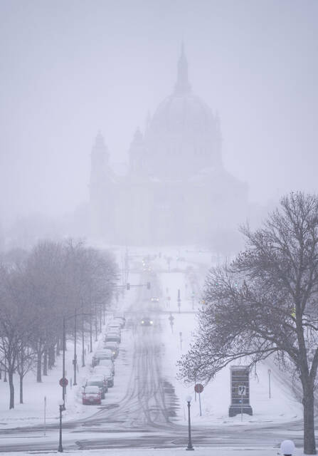
The Minneapolis-St. Paul area could see 2 feet (61 centimeters) of snow or more for the first time in over 30 years.
Temperatures in the nation’s northern tier could plunge as low as minus 20 degrees Fahrenheit (minus 29 degrees Celsius) Thursday and to minus 25 degrees Fahrenheit (minus 32 degrees Celsius) Friday in Grand Forks, North Dakota. Wind chills may fall to minus 50 degrees Fahrenheit (minus 46 degrees Celsius), said Nathan Rick, a meteorologist in Grand Forks.
Wind gusts may reach 50 mph in western and central Minnesota, resulting in “significant blowing and drifting snow with whiteout conditions in open areas,” the weather service said.
According to the weather service, the biggest snow event on record in the Twin Cities was 28.4 inches from Oct. 31 through Nov. 3, 1991 — known as the Halloween Blizzard. The second-largest was 21.1 inches of snow from Nov. 29 through Dec. 1, 1985. The Twin Cities got 20 inches of snow on Jan. 22 and Jan. 23, 1982.
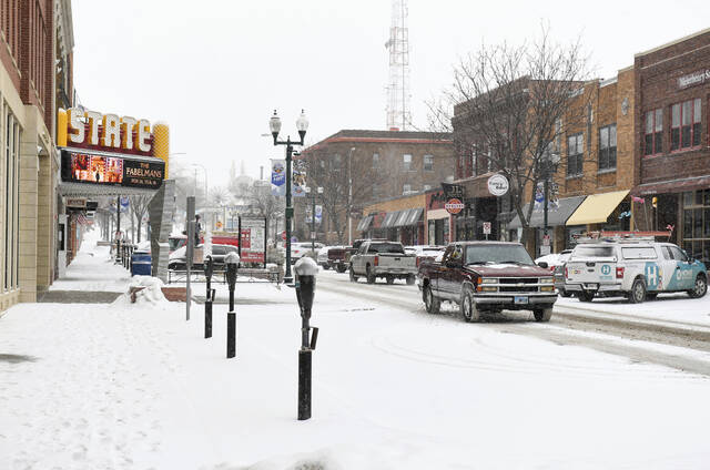
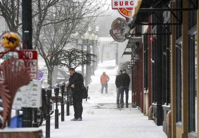
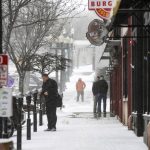
Hardware store owners said residents were generally taking the forecast in stride.
At C&S Supply, an employee-owned hardware store in Mankato, Minnesota, manager Corey Kapaun said demand was high for salt and grit, but not for shovels, snow blowers or other equipment. He attributed that to the fact that winter is two-thirds over.
“I think people are either prepared or they’re not,” Kapaun said. “It’s usually the first snowfall of the year that gets a lot of attention. With a storm like this, I expected a little bit more, but we’ve already had a big year of snow already.”
Forecasters at AccuWeather said the same storm system could result in icing across a 1,300-mile (2,092 -kilometer) band from near Omaha, Nebraska, to New Hampshire on Wednesday and Thursday, creating potential travel hazards in or near cities such as Milwaukee, Detroit, Chicago and Boston.
As the northern U.S. deals with a winter blast, record warmth is expected in the mid-Atlantic and Southeast — 30 degrees to 40 degrees above normal in some places. Record highs are expected from Baltimore to New Orleans and in much of Florida, National Weather Service Meteorologist Frank Pereira said.
Washington, D.C., could hit 80 degrees on Thursday, which would top the record of 78 degrees set in 1874.
A more than 200-mile stretch of Interstate 40 from central Arizona to the New Mexico line closed Wednesday morning due to wind gusts reaching up to 80 mph, plus snow and rain. Thousands were without power in Arizona.
California was also preparing for the latest in a series of winter storms as winds that began blowing Tuesday brought the potential for rain, snow and hail for much of the state. A “major snow event” was possible in foothills and mountains near Los Angeles, with several inches predicted even for elevations as low as 1,000 feet, the weather service said.
“Nearly the entire population of CA will be able to see snow from some vantage point later this week if they look in the right direction (i.e., toward the highest hills in vicinity),” UCLA climate scientist Daniel Swain wrote on Twitter.
Daytime temperatures in Southern California were unlikely to get out of the low to mid-50s and potentially damaging winds reaching 50 mph were predicted along the central coast, with gusts of 70 mph possible in mountains.