


ATLANTA — A storm system sweeping across the Southeast late Saturday and Sunday brought tornado warnings to Mississippi and Louisiana, and then took aim at parts of Georgia and Florida, as people in the Northeast were finally getting a reprieve from weeks of bitterly cold temperatures.
Some of the fiercest storms in the South were reported near Lake Charles, Louisiana, where fierce wind from a thunderstorm overturned a horse trailer and a Mardi Gras float, damaged an airport jet bridge and flung the metal awning from a house into power lines. The damage was documented by National Weather Service employees who surveyed the area.
Power poles were snapped and toppled near the Louisiana towns of Jena, Cheneyville and Donaldsonville, the weather service reported.
No deaths or serious injuries were reported, but the damage reports came as the storm system continued into parts of south Georgia and the Florida Panhandle, which were under tornado watches on Sunday.
This weekend’s storms led to some power outages across the South, but nowhere near the massive number of outages caused by ice storms late last month in northern Mississippi and Nashville, Tennessee. Early Sunday afternoon, more than 12,000 customers were without power in northern Florida, according to PowerOutage.us, which tracks outages nationwide. About 7,000 customers were without power in Mississippi, and another 6,000 in Louisiana.
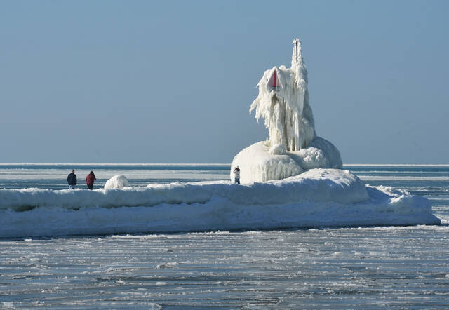
Meanwhile, the Northeast was beginning to thaw after a weekslong stretch of uncommonly cold weather.
Boston was running nearly 7 degrees below average for February last week, and the city was on pace for its coldest winter in more than a decade. Boston remained cold on Sunday, but this week’s forecast called for temperatures climbing into the high 30s and low 40s, which is closer to the seasonal average.
Elsewhere in the U.S., parts of California were bracing for showers, thunderstorms and snow showers. Jacob Spender, a meteorologist with the National Weather Service in Sacramento, said a storm system was moving into California on Sunday and through the week.
Heavy snow was forecast for elevated areas, Spender said.
“As we get up into the mountains and the foothills, we’re going to be looking at some snowfall,” Spender said. “So there will be snowfall all the way down into the foothills as well.”
Spender said people should heed travel advisories in the coming days.
“So if they are traveling, packing winter safety kits. Anything to be prepared. This is a bigger system, and a major system,” Spender said.