JACKSON, Miss. — Residents in several towns in Louisiana and Mississippi took cover when tornado sirens blared on Tuesday, as forecasters warned of the potential for strong twisters that could stay on the ground for long distances in parts of the South. Heavy rain and hail the size of tennis balls were also possible, forecasters said.
There were no immediate reports of damage or injuries, but multiple tornado warnings were issued Tuesday afternoon.
More than 25 million people could be at risk as the storm system moves from eastern Texas to Indiana and Georgia. The national Storm Prediction Center said in its storm outlook that affected cities could include New Orleans; Memphis and Nashville in Tennessee; and Birmingham, Ala.
2:01pm CST #SPC Day1 Outlook Moderate Risk: THIS AFTERNOON AND TONIGHT OVER PARTS OF NORTHEAST LOUISIANA EXTREME SOUTHEAST ARKANSAS CENTRAL AND NORTHERN MISSISSIPPI AND NORTHWEST ALABAMA https://t.co/TgJgC5UHLo pic.twitter.com/SfceMnRPDq
— NWS Storm Prediction Center (@NWSSPC) November 29, 2022
Hail stones crashed against the windows of City Hall in the small town of Tchula, Miss., as residents took cover during a tornado warning.
“It was hitting against the window, and you could tell that it was nice-sized balls of it,” Mayor Ann Polk said after the storm moved through.
An apparent tornado caught on camera in Louisiana earlier this afternoon. We are tracking multiple severe storms on @WeatherNation right now! pic.twitter.com/PTHzRTdGAd
— WeatherNation (@WeatherNation) November 29, 2022
It’s rare that federal forecasters warn of major tornadoes with the potential for carving damages across long distances, as they did in Tuesday’s forecasts. Tornado watches covering much of Louisiana and Mississippi were announced due to “a particularly dangerous situation,” the National Weather Service said.
“Supercells are expected to develop this afternoon and track northeastward across much of northeast Louisiana and central Mississippi,” the weather service said. “Parameters appear favorable for strong and long-tracked tornadoes this afternoon and early evening.”
The most intense wave of the storm was projected to move through Mississippi between 5 p.m. and 8 p.m., said Sarah Sickles, a forecaster with the National Weather Service in Jackson.
BREAKING: A Particularly Dangerous Situation (PDS) tornado watch has been issued until 7 p.m. CST from northern and central LA to western and central MS and southeast AR. Numerous strong tornadoes are expected. pic.twitter.com/NuutAAHz28
— The Weather Channel (@weatherchannel) November 29, 2022
“Multiple rounds of severe thunderstorms — some capable of long-tracked tornadoes with EF3+ damage potential — will be possible this afternoon into tonight over parts of the lower Mississippi Valley region and Mid-South,” the Norman, Oklahoma-based Storm Prediction Center said.
Tornadoes with an EF3 rating on the Enhanced Fujita tornado scale can produce wind gusts of up to 165 mph.
The severe weather could hit Alabama early Wednesday, forecasters said.
All remaining classes at Mississippi State University’s main campus in Starkville switched to remote instruction Tuesday due to the weather, the university announced. A Mississippi State women’s basketball game against the University of Louisiana-Monroe was to be played on campus, but the venue was closed to spectators. Alcorn State University and the University of Southern Mississippi Hattiesburg were closing early.
Some of Mississippi’s public school systems also closed early. The 3,500-student Canton Public School District said it was dismissing students at noon, canceled after-school activities and rescheduled a basketball game. Another large system outside Jackson, Madison County Schools, also closed early.
Flood watches were issued for parts of southeast Mississippi and southwest Alabama, where 3 to 5 inches of rain could lead to flash flooding, the National Weather Service said.
Meanwhile, heavy snow was snarling traffic in some parts of the Upper Midwest.
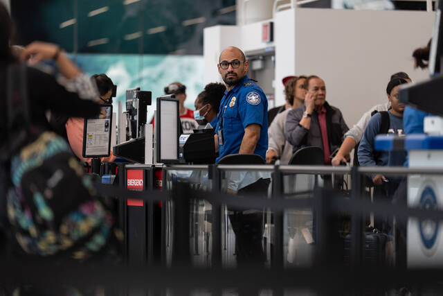
Minneapolis-St. Paul International Airport tweeted Tuesday afternoon that its runways were closed due to fast snowfall rates and reduced visibility. Air traffic websites showed some inbound planes circling or diverting to other airports such as St. Cloud, Minn., and Fargo, N.D. The National Weather Service reported nearly 4 inches of snow on the ground at the airport by noon.