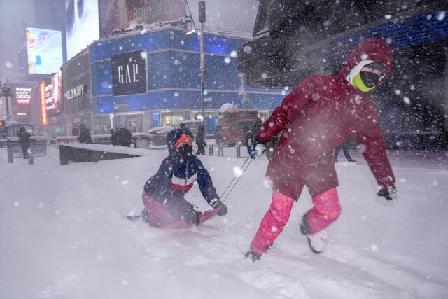
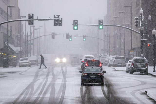

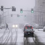
NASHVILLE — A winter storm blanketed parts of the South with snow, freezing rain and sleet Thursday, tying up roads in Tennessee and Kentucky as the system tracked a path through Appalachia toward the Mid-Atlantic and Northeast.
The storm began hitting greater Nashville on Thursday morning. About 4 to 6 inches of snow had fallen across a large swath of Middle Tennessee by early afternoon, with snowfall possibly continuing for a few more hours, said National Weather Service meteorologist Scott Unger in Nashville. Freezing rain and sleet coated areas around the Tennessee-Alabama state border, Unger said.
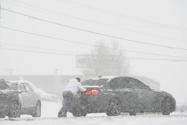
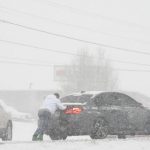
Authorities urged people to travel only when necessary, as Metro Nashville Police reported accidents and other driving woes that snarled and slowed several roads. Police in the city reported dozens of wrecks on the road by the early afternoon. A section of Interstate 40 was plugged up due to a tractor trailer fuel spill crash, according to police, just one of several issues bottlenecking multiple interstates in the city.
Meteorologist @TevinWooten is LIVE tonight in Bristol, Tennessee.
— The Weather Channel (@weatherchannel) January 7, 2022
Catch our coverage for active alerts, the latest #Garrett videos, and what you need to know about travel in the morning. pic.twitter.com/Khj7vHzy1t
Along the Kentucky border, authorities in Montgomery County, Tenn., were dealing with dozens of crashes as well, including a wreck that killed one person involving a commercial vehicle on Interstate 24, according to Tennessee Highway Patrol spokesperson Lt. Bill Miller.
Tennessee Department of Transportation regional spokesperson Rebekah Hammonds tweeted Thursday that the agency is “clearing as much as we can but issues will continue as snow continues to fall and temps drop.”
With temperatures expected to plummet overnight, everything on the ground is going to freeze and create treacherous road conditions Friday, Unger said.
Schools around Tennessee canceled classes and governments temporarily closed their buildings, as far west as Memphis and Shelby County, which saw a dose of ice and snow. Gov. Bill Lee shuttered state offices across Tennessee. Nashville and Memphis both saw their share of canceled flights at their airports.
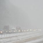
Kentucky Gov. Andy Beshear warned that the snow hitting his state was “both real and dangerous.” Some areas had already received more than a half-foot by early afternoon, National Weather Service meteorologist Ron Steve said. Beshear said he deployed teams of the Kentucky National Guard to help in the response.
The largest snowfall so far was 7 to 8 inches around Elizabethtown. Lexington had 4 to 5 inches, Steve said. Far western Kentucky had about 3 inches, and snowfall was tapering off.
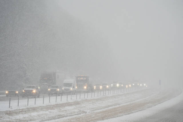
In Elizabethtown, officials said a pileup of 20 to 30 cars in snowy conditions Thursday afternoon closed both lanes of the Western Kentucky Parkway. And both lanes of U.S. Route 25 in southcentral Kentucky were temporarily blocked by multiple crashes, state police said.
Dozens of vehicles were involved in a crash on Interstate 64 near Mount Sterling, Kentucky on Thursday due to heavy snow. #kywx
— FOX Weather (@foxweather) January 7, 2022
Live updates: https://t.co/6y39akNvpa pic.twitter.com/PgpJPbLK3Q
First lady Jill Biden, meanwhile, had to cancel her trip planned for Thursday to view damage from last month’s tornado in Bowling Green, Ky.
The storm presented an expected boon to the ski industry in West Virginia, where up to 9 inches of snow was forecast. Three of the state’s four major downhill ski resorts had suspended on-slope operations earlier this week due to warmer conditions. Now the activity was picking back up.
“West Virginia can’t wait to welcome travelers to our snow-capped mountains this winter,” said Chelsea Ruby, secretary of the state’s Department of Tourism.
The storm’s path could create further headaches as it swirls through the Mid-Atlantic and the Northeast.
Significant accumulations from the ongoing snowstorm are expected to remain north and west of Washington, D.C., with 1 to 3 inches predicted in the nation’s capital. https://t.co/WRJz3jDaNG pic.twitter.com/oSPwyJEuvV
— Breaking Weather by AccuWeather (@breakingweather) January 7, 2022
In Virginia, work was under way both to prepare for the expected snow and mitigate the effects of a winter storm earlier in the week that left hundreds of drivers stranded on Interstate 95.
Gov. Ralph Northam declared a state of emergency and tapped the Virginia National Guard for some additional help.
The Washington and Baltimore areas, parts of central and southern Maryland, and portions of northern Virginia should expect 2 to 4 inches of snow overnight Thursday into Friday morning, with isolated high amounts up to 6 inches, the National Weather Service said.
Massachusetts was bracing for 8 inches or more from 2022′s first snowstorm, and as a precaution, many state workers have been told to stay home Friday. Gov. Charlie Baker said non-emergency executive branch state employees were being asked to stay off the road and work from home. Baker also urged residents to either work from home or use public transportation so highways were free of traffic and could be easily cleared.
From late Thursday through Friday afternoon, 4 to 7 inches of snow were expected in parts of central and southern New Hampshire, and south-central and southwest Maine, according to the weather service. The highest amounts are expected along the coast. The steadiest snow will be expected during the morning commute Friday before tapering off.
In Michigan, meanwhile, snow fueled by the Great Lakes fell for a second consecutive day Thursday in the western part of the state and the Upper Peninsula, with some communities reporting remarkable amounts and bracing for even more by Friday.
Ishpeming recorded 23 inches in one location, while many other areas in the Upper Peninsula had a foot or more, the National Weather Service said.
In North Dakota, dangerously frigid weather presented the biggest risk Thursday. Cold temperatures enveloping the state have pushed wind chill readings down to minus 59 degrees in Bowbells, the county seat of Burke County in northwestern North Dakota. Mandan was at minus 45 and Bismarck at 41 below zero, according to the National Weather Service.