News
-

local
Clip of young Pirates fan giving baseball to girl warms hearts on social media
2 Min Read | 2 hours Ago
-
news
Chance of severe weather during NFL Draft is ‘quite low,’ meteorologist says
2 Min Read | 4 mins Ago
-

local
From ‘Steel City’ to ‘eds and meds’: As Pittsburgh welcomes NFL Draft, it isn’t so easily defined anymoreVideo
9 Min Read | 3 hours Ago
-

local
How did Pittsburgh come to have 90 unique neighborhoods?
6 Min Read | 2 hours Ago
Headlines
-

business
Ligonier Country Market vendors face uncertain season after zoning, lease setbacksVideo
6 Min Read | 4 hours Ago
-
local
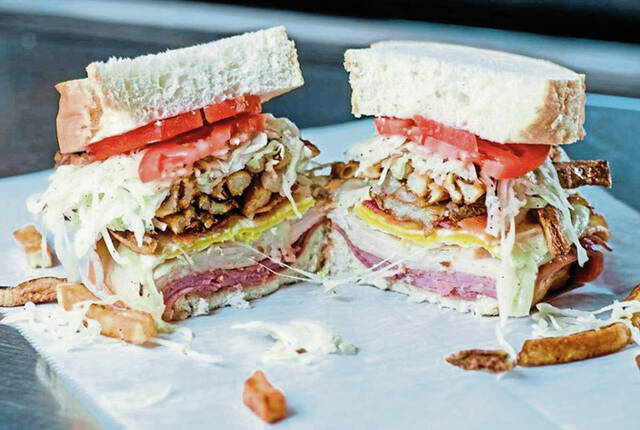
Primanti’s for beginners: Do’s, don’ts, tips and tricks for eating Pittsburgh’s legendary sandwichVideo
5 Min Read | 5 hours Ago
-
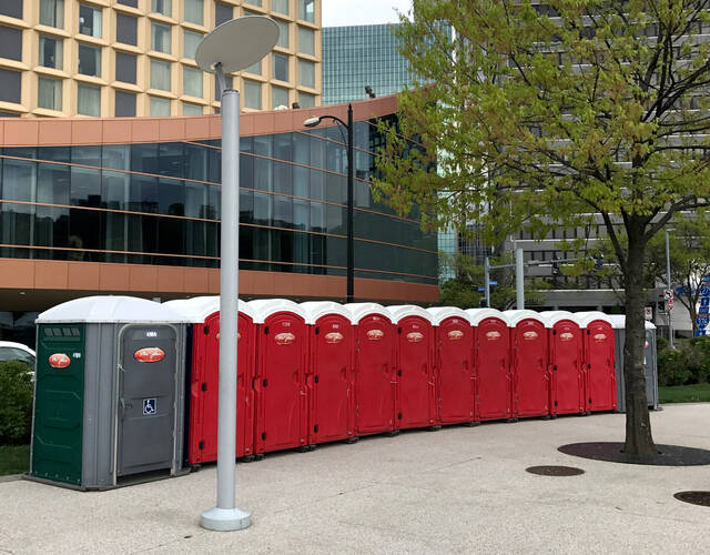
local
Going responsibly at the NFL Draft: Porta-potty etiquette 101
3 Min Read | 1 hour Ago
-
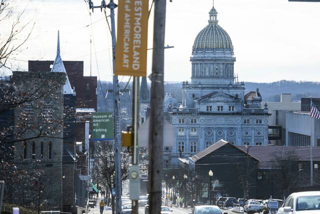
local
Greensburg to unveil 1st comprehensive zoning update in decades at public open house
2 Min Read | 2 hours Ago
-

local
3 taken to hospital following incident in Penn Hills
1 Min Read | 6 hours Ago
-

local
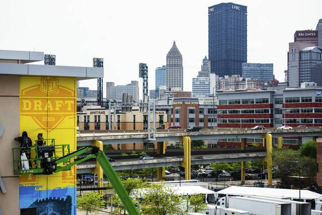
All eyes on Pittsburgh as NFL Draft week takes over the city
10 Min Read | 2 days Ago
-
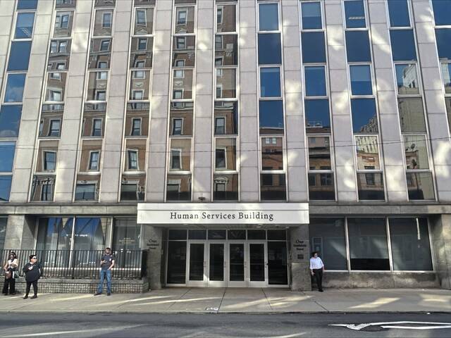
local
Allegheny County Area Agency on Aging cuts back as budget falls short
4 Min Read | 2 days Ago
-

news
Shapiro wants to eliminate 3 ‘niche’ tax credits; supporters say they should be expanded
6 Min Read | 6 hours Ago